Design for Geospatial
Jeff Frankl is a designer with 15+ years of experience in product design, user research, and frontend engineering. He helps nonprofits and other mission-driven organizations turn complex data into actionable, user-centered applications and visualizations.

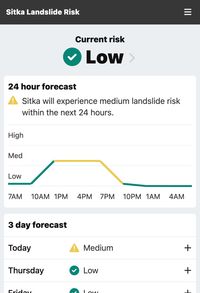
Sitka Landslide Risk Forecast
Decision-focused landslide risk forecasting app

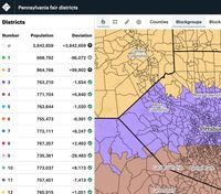
DistrictBuilder
Free redistricting app for drawing fair electoral maps

TextureMap
Open-source resources for designing accessible cartography

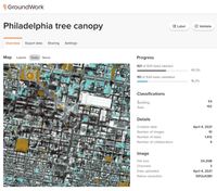
GroundWork
Satellite imagery labeling tool for creating training data for machine learning projects
Coming soon

Digital Pathology Platform
Image reading and workflow management software for medical R&D
NDA—Contact for Details

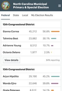
Election Night Reporting
Universal election night reporting for every election, in every state
NDA—Contact for Details